Tell your friends about this item:
Rand McNally Folded Map: Charleston Street Map Rand Mcnally
 Christmas presents can be returned until 31 January

Our customers say:


Rand McNally Folded Map: Charleston Street Map
Rand Mcnally
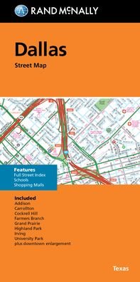
Rand McNally's folded map for Charleston is a must-have for anyone traveling in and around this part of South Carolina, offering unbeatable accuracy and reliability at a great price. Our trusted cartography shows all Interstate, U. S., state, and county highways, along with clearly indicated parks, points of interest, airports, county boundaries, and streets. The easy-to-use legend and detailed index make for quick and easy location of destinations. You'll see why Rand McNally folded maps have been the trusted standard for years. Folded map features: - Regularly updated. - Full-color maps. - Clearly labeled Interstate, U. S., state, and county highways. - Indications of parks, points of interest, airports, county boundaries, schools, shopping malls, downtown & vicinity maps. - Easy-to-use legend. - Detailed & full street index. - Convenient folded size. Coverage Area Communities Included: Goose Creek, Hanahan, Isle of Palms, Lincolnville, Mount Pleasant, North Charleston, Sullivan's Island, Summerville plus downtown enlargement. Product Details: Measures 9.5 x 4 and folds out to 40 x 28.
show more
| Media | Books Paperback Book (Book with soft cover and glued back) |
| Released | May 16, 2022 |
| ISBN13 | 9780528024696 |
| Publishers | RAND MCNALLY |
| Dimensions | 150 × 220 × 10 mm · 250 g (Weight (estimated)) |
| Language | English |