Derby, Uttoxeter, Ashbourne and Cheadle - OS Explorer Active Map (2015) Ordnance Survey Map September 2015 Edition R 327
Nottingham, Vale of Belvoir - OS Explorer Active Map (2015) Ordnance Survey Map September 2015 Edition R 327
Vale of Clwyd, Rhyl, Denbigh and Ruthin - OS Explorer Active Map (2015) Ordnance Survey Map September 2015 Edition R 327
Clwydian Range, Prestatyn, Mold and Ruthin - OS Explorer Active Map (2015) Ordnance Survey Map September 2015 Edition R 327
Northwich and Delamere Forest - OS Explorer Active Map (2015) Ordnance Survey Map September 2015 Edition R 327
Wilmslow, Macclesfield and Congleton - OS Explorer Active Map (2015) Ordnance Survey Map September 2015 Edition R 327
Chesterfield and Alfreton - OS Explorer Active Map (2015) Ordnance Survey Map September 2015 Edition R 327
Lincolnshire Wolds South - OS Explorer Active Map (2015) Ordnance Survey Map September 2015 Edition R 327
Skegness, Alford and Spilsby - OS Explorer Active Map (2015) Ordnance Survey Map September 2015 Edition R 327
Liverpool, St Helens - Widnes and Runcorn - OS Explorer Active Map (2015) Ordnance Survey Map September 2015 Edition R 327
Bolton, Wigan and Warrington - OS Explorer Active Map (2015) Ordnance Survey Map September 2015 Edition R 327
Manchester and Salford - OS Explorer Active Map (2015) Ordnance Survey Map September 2015 Edition R 327
Sheffield and Barnsley - OS Explorer Active Map (2015) Ordnance Survey Map September 2015 Edition R 327
Doncaster, Conisbrough, Maltby and Thorne - OS Explorer Active Map (2015) Ordnance Survey Map September 2015 Edition R 327
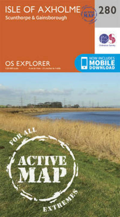
Isle of Axholme, Scunthorpe and Gainsborough - OS Explorer Active Map (2015) Ordnance Survey Map September 2015 Edition R 327
Lincolnshire Wolds North - OS Explorer Active Map (2015) Ordnance Survey Map September 2015 Edition R 327
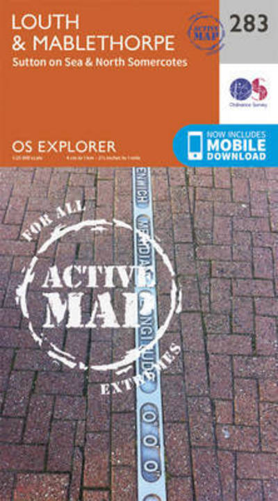
Louth and Mablethorpe - OS Explorer Active Map (2015) Ordnance Survey Map September 2015 Edition R 327
Grimsby, Cleethorpes and Immingham, Caistor and North Thoresby - OS Explorer Active Map (2015) Ordnance Survey Map September 2015 Edition R 327
Southport and Chorley - OS Explorer Active Map (2015) Ordnance Survey Map September 2015 Edition R 327
Blackpool and Preston - OS Explorer Active Map (2015) Ordnance Survey Map September 2015 Edition R 327
West Pennine Moors - Blackburn, Darwen and Accrington - OS Explorer Active Map (2015) Ordnance Survey Map September 2015 Edition R 327
Goole and Gilberdyke - OS Explorer Active Map (2015) Ordnance Survey Map September 2015 Edition R 327
Withernsea and Spurn Head - OS Explorer Active Map (2015) Ordnance Survey Map September 2015 Edition R 327
Kingston-Upon-Hull and Beverley - OS Explorer Active Map (2015) Ordnance Survey Map September 2015 Edition R 327
Market Weighton and Yorkshire Wolds Central - OS Explorer Active Map (2015) Ordnance Survey Map September 2015 Edition R 327
Lancaster, Morecambe and Fleetwood - OS Explorer Active Map (2015) Ordnance Survey Map September 2015 Edition R 327
Ripon and Boroughbridge - OS Explorer Active Map (2015) Ordnance Survey Map September 2015 Edition R 327
Scarborough, Bridlington and Flamborough Head - OS Explorer Active Map (2015) Ordnance Survey Map September 2015 Edition R 327
Northallerton and Thirsk - Catterick and Bedale - OS Explorer Active Map (2015) Ordnance Survey Map September 2015 Edition R 327
Whitehaven and Workington - OS Explorer Active Map (2015) Ordnance Survey Map September 2015 Edition R 327
Darlington and Richmond - OS Explorer Active Map (2015) Ordnance Survey Map September 2015 Edition R 327
Bishop Auckland - Spennymoor and Newtown - OS Explorer Active Map (2015) Ordnance Survey Map September 2015 Edition R 327
Middlesbrough and Hartlepool, Stockton-on-Tees and Redcar - OS Explorer Active Map (2015) Ordnance Survey Map September 2015 Edition R 327
Durham and Sunderland - OS Explorer Active Map (2015) Ordnance Survey Map September 2015 Edition R 327
Stranraer and the Rhins - OS Explorer Active Map (2015) Ordnance Survey Map September 2015 Edition R 327
Glenluce and Kirkcowan - OS Explorer Active Map (2015) Ordnance Survey Map September 2015 Edition R 327
Wigtown, Whithorn and the Machars - OS Explorer Active Map (2015) Ordnance Survey Map September 2015 Edition R 327
Kirkcudbright and Castle Douglas - OS Explorer Active Map (2015) Ordnance Survey Map September 2015 Edition R 327
Dumfries and Dalbeattie - OS Explorer Active Map (2015) Ordnance Survey Map September 2015 Edition R 327
Solway Firth, Wigton and Silloth - OS Explorer Active Map (2015) Ordnance Survey Map September 2015 Edition R 327
Carlisle, Brampton, Longtown and Gretna Green - OS Explorer Active Map (2015) Ordnance Survey Map September 2015 Edition R 327
Ballantrae, Barr and Barrhill - OS Explorer Active Map (2015) Ordnance Survey Map September 2015 Edition R 327
Galloway Forest Park North - OS Explorer Active Map (2015) Ordnance Survey Map September 2015 Edition R 327
Galloway Forest Park South - OS Explorer Active Map (2015) Ordnance Survey Map September 2015 Edition R 327
Castle Douglas, Loch Ken and New Galloway - OS Explorer Active Map (2015) Ordnance Survey Map September 2015 Edition R 327
Eskdale and Castle O'er Forest - OS Explorer Active Map (2015) Ordnance Survey Map September 2015 Edition R 327
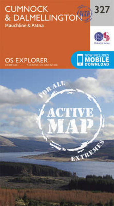
Cumnock and Dalmellington - OS Explorer Active Map (2015) Ordnance Survey Map September 2015 Edition R 327
Sanquhar and New Cumnock - OS Explorer Active Map (2015) Ordnance Survey Map September 2015 Edition R 327
Lowther Hills, Sanquhar and Leadhills - OS Explorer Active Map (2015) Ordnance Survey Map September 2015 Edition R 327
Moffat and St Mary's Loch - OS Explorer Active Map (2015) Ordnance Survey Map September 2015 Edition R 327
Alnwick and Amble, Craster and Whittingham - OS Explorer Active Map (2015) Ordnance Survey Map September 2015 Edition R 327
Kilmarnock and Irvine - OS Explorer Active Map (2015) Ordnance Survey Map September 2015 Edition R 327
East Kilbride, Galston and Darvel - OS Explorer Active Map (2015) Ordnance Survey Map September 2015 Edition R 327
Lanark and Tinto Hills - OS Explorer Active Map (2015) Ordnance Survey Map September 2015 Edition R 327
Biggar and Broughton - OS Explorer Active Map (2015) Ordnance Survey Map September 2015 Edition R 327
Peebles and Innerleithen - OS Explorer Active Map (2015) Ordnance Survey Map September 2015 Edition R 327
Galashiels, Selkirk and Melrose - OS Explorer Active Map (2015) Ordnance Survey Map September 2015 Edition R 327
Kelso, Coldstream and Lower Tweed Valley - OS Explorer Active Map (2015) Ordnance Survey Map September 2015 Edition R 327
Greenock, Largs and Millport - OS Explorer Active Map (2015) Ordnance Survey Map September 2015 Edition R 327
Motherwell and Coatbridge - OS Explorer Active Map (2015) Ordnance Survey Map September 2015 Edition R 327
Falkirk, Cumbernauld and Livingstone - OS Explorer Active Map (2015) Ordnance Survey Map September 2015 Edition R 327
Dunbar and North Berwick - OS Explorer Active Map (2015) Ordnance Survey Map September 2015 Edition R 327
Lochgilphead and Knapdale North - OS Explorer Active Map (2015) Ordnance Survey Map September 2015 Edition R 327
Oban, Kerrera and Loch Melfort - OS Explorer Active Map (2015) Ordnance Survey Map September 2015 Edition R 327
Loch Awe and Inveraray - OS Explorer Active Map (2015) Ordnance Survey Map September 2015 Edition R 327
Cowal West and Isle of Bute - OS Explorer Active Map (2015) Ordnance Survey Map September 2015 Edition R 327
Dunfermline, Kirkcaldy and Glenrothes South - OS Explorer Active Map (2015) Ordnance Survey Map September 2015 Edition R 327
St Andrews and East Fife - OS Explorer Active Map (2015) Ordnance Survey Map September 2015 Edition R 327
Iona, Staffa and Ross of Mull - OS Explorer Active Map (2015) Ordnance Survey Map September 2015 Edition R 327
Isle of Mull North and Tobermory - OS Explorer Active Map (2015) Ordnance Survey Map September 2015 Edition R 327
Loch Etive and Glen Orchy - OS Explorer Active Map (2015) Ordnance Survey Map September 2015 Edition R 327